Technology for Street Fishing!
The Navionics app is known as the go-to product for boat anglers. It has also proven to be incredibly useful for street fishing, giving you an edge over your peers. This is a guide how to use the Navionics app to get the most out of your urban sessions.
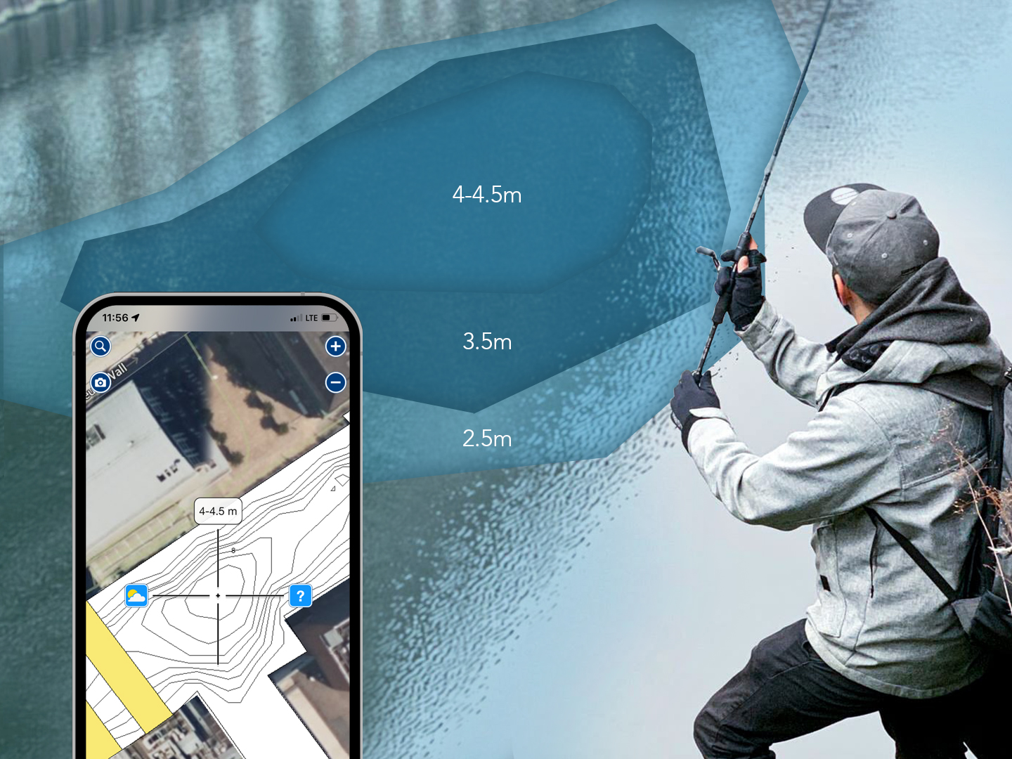
One challenge we encounter every time we arrive at a new spot is to work out what is the situation underwater. Often the water is murky, and if clear, visibility is only short and often blocked by surface reflection and movements. After the first cast, it is often possible to tell if the water is shallow or deep based on the time it takes for your jig to hit the water bed. It is, however, very difficult to tell exactly how deep the water is and how the bed is changing in depth throughout the full length of your cast. Very rarely is a water bed completely flat, on clean canals maybe, but even as they are faced with years of neglect the bed changes in structure.
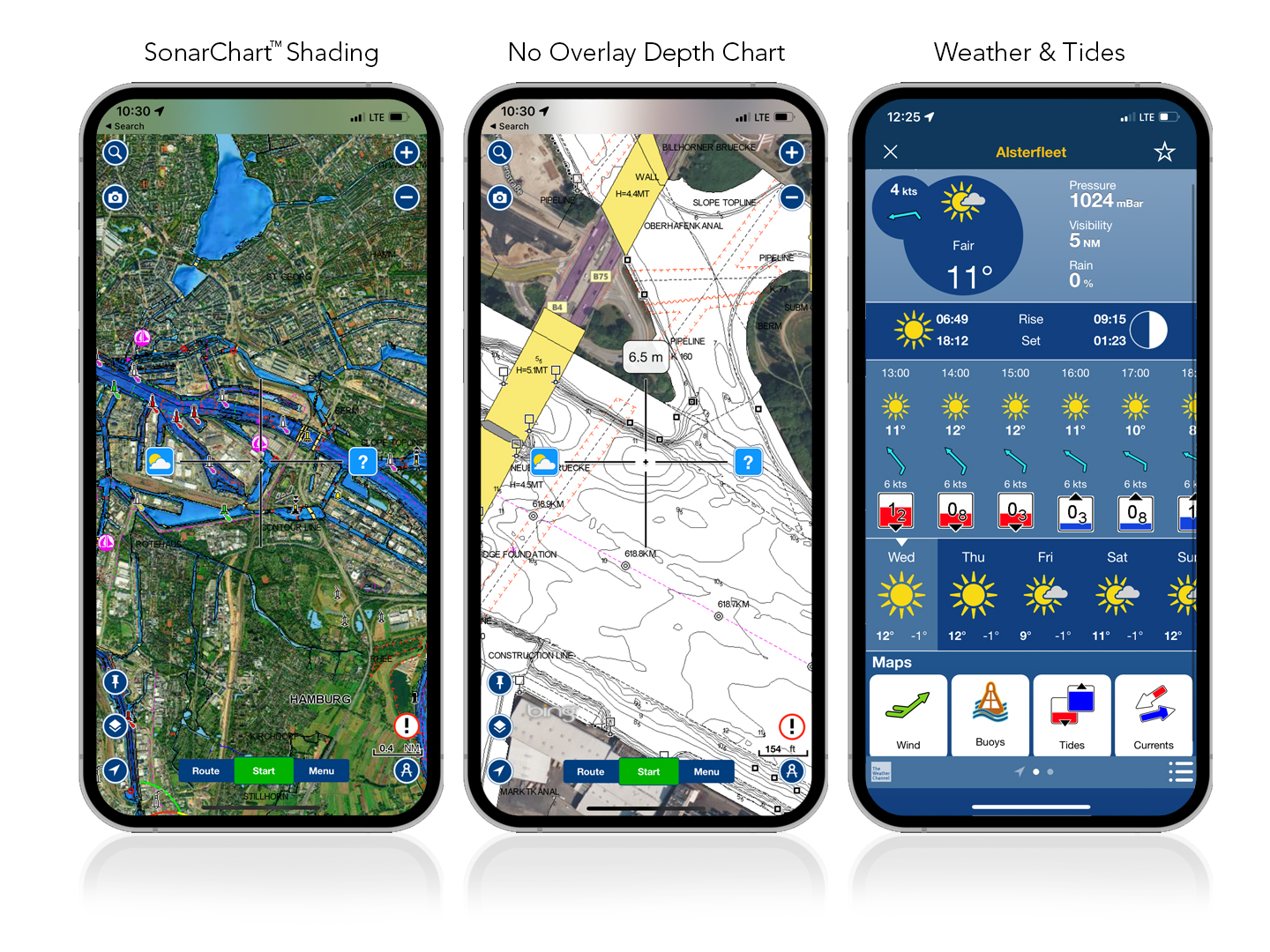
This is where the Navionics app comes into its own. Using a map system, you can see the depth recorded in that location, similar to reading a terrain map. Navionics works by collecting up to date sonar data from its users in order to keep a record of depths to the nearest 50cm.